Utah hiking trails
Slot canyons, arches, waterfalls, alpine lakes and the state's highest peak.
Find a Utah hike that fits your day. Compare the listed distance, climb, terrain and seasonal notes, then open the managing agency's trail information before you set out. Use the filters to narrow the choices, but read each route's notes: a short walk can still involve steep steps, exposure or difficult footing.
- Arches National Park · Eastern Utah
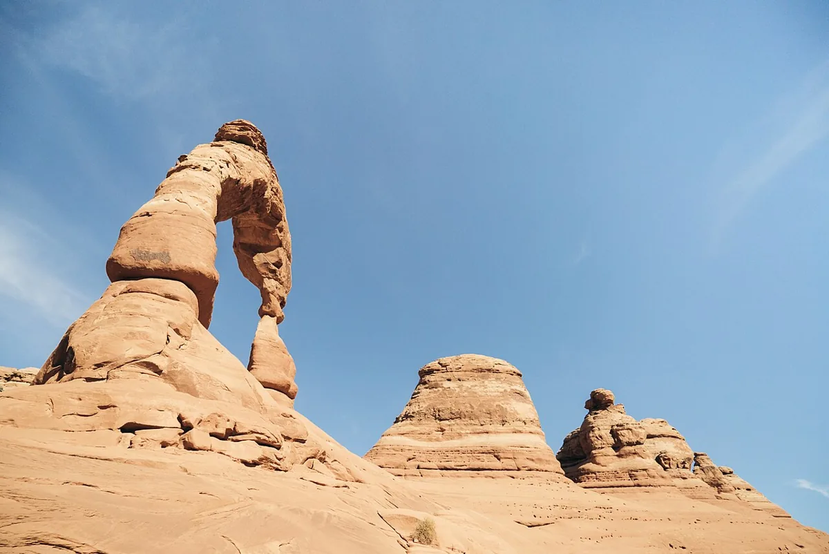 File photo, November 10, 2016. Photo: Adam Skalecki · CC0 · Wikimedia Commons
Delicate Arch
- Hard
- Dogs prohibited
3 miles round tripClimb 538 ftYear-round; avoid midday heat in summer
From Wolfe Ranch, the trail climbs a steep slickrock slope with no shade, then follows a narrow ledge for about 200 yards before the arch appears. The Park Service rates it strenuous, says to bring at least 2 quarts of water, and advises traction devices in winter, when the ledge is often icy. Sunset hikers need a light for each person.
- Arches National Park · Eastern Utah
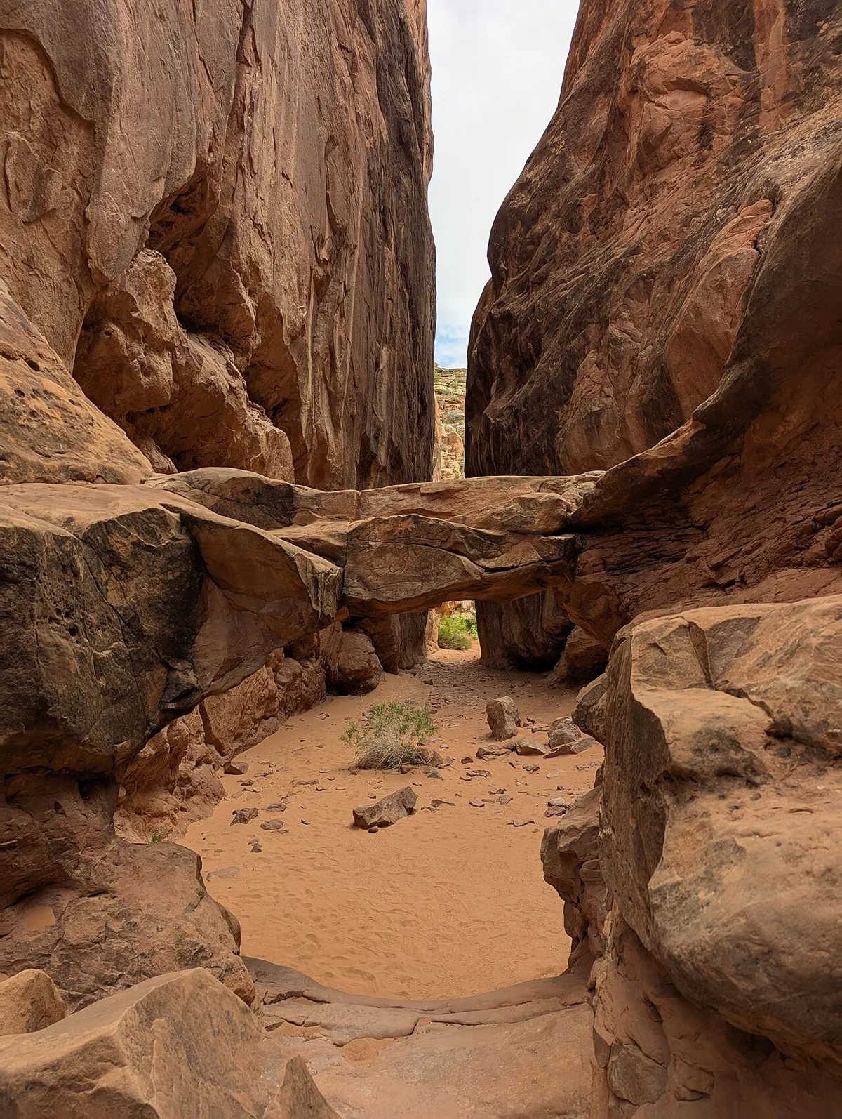 File photo. Photo: G. Edward Johnson · CC BY 4.0 · Wikimedia Commons
Fiery Furnace
- Hard
- Dogs prohibited
About 2 miles; no set trailSelf-guided permits year-round; ranger-led hikes spring through fall
A maze of tight sandstone fins where you squeeze, scramble and chimney through passages. Only one counter-clockwise route has small markers, and many other paths dead-end. GPS works poorly between the walls and it is easy to get lost, which is why access is limited. First-timers should go with a ranger or someone who knows the route.
Permit: You need either a spot on a ranger-led hike or a self-guided permit, both booked through Recreation.gov or the park. A reservation is not the permit itself: everyone in the party must be present at pickup and watch the orientation film first. Snow on the ground or other hazardous weather can close the area, so check current instructions before you go.
- Arches National Park, Devils Garden · Eastern Utah
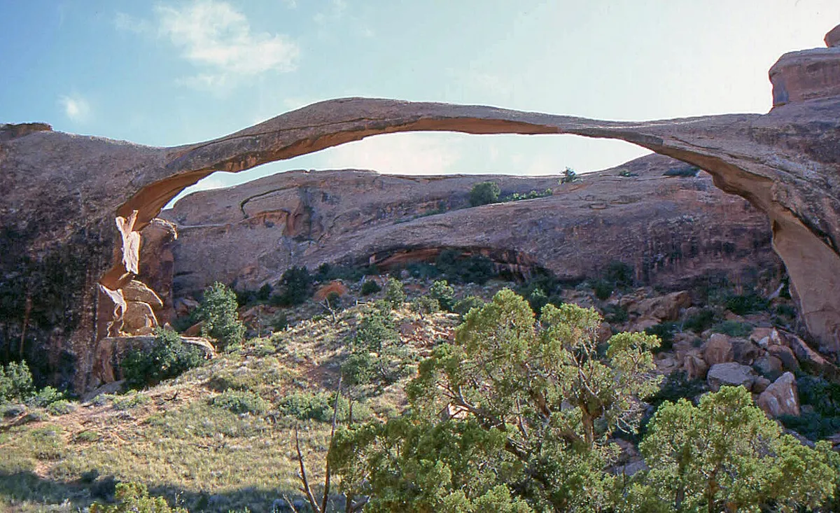 File photo. Photo: W. Bulach · CC BY-SA 4.0 · Wikimedia Commons
Landscape Arch
- Easy
- Good for kids
- Dogs prohibited
1.8 miles round tripClimb 40 ftYear-round
A hard-packed trail through Devils Garden to Landscape Arch, which the Park Service calls the longest arch in North America, with a 306-foot opening only 6 feet thick at its narrowest. Spurs lead to Pine Tree and Tunnel arches. The trail is considered barrier-free, though steep slopes just before the arch may require assistance. Past the arch, the trail toward Double O Arch climbs onto narrow ledges with drop-offs.
- Arches National Park, The Windows Section · Eastern Utah
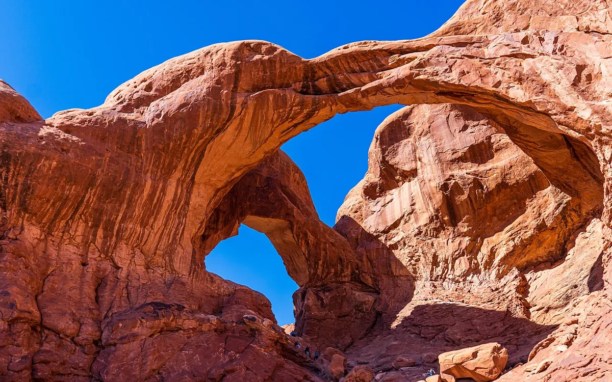 File photo. Photo: OrangeJedi · CC BY 4.0 · Wikimedia Commons
Double Arch
- Easy
- Good for kids
- Dogs prohibited
0.6 mile round tripClimb 30 ftYear-round
A gently sloping path to the base of two arch spans joined at one end. The Park Service says it is the tallest arch in the park, at 112 feet. The path may be accessible to wheelchairs with some assistance. If you scramble up the rock beneath the arches, the park warns, climbing down is often harder than climbing up.
- Arches National Park, The Windows Section · Eastern Utah
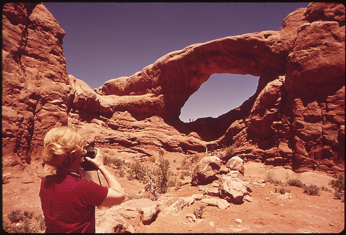 File photo. Photo: David Hiser · Public domain · Wikimedia Commons
The Windows
- Easy
- Good for kids
- Dogs prohibited
1 mile round tripClimb 99 ftYear-round
A gentle gravel climb to North Window, South Window and Turret Arch, with a longer primitive loop back that has fewer trail markers and rough steps. Only the first 300 feet are barrier-free; reaching the arches takes a slope and some rock stairs. There is no drinking water at the trailhead. A connector trail links it with Double Arch.
Planning a Moab trip? Compare these Arches walks
Choose a particular route, not just the name of a trailhead. Arches has short approaches and more demanding extensions in the same area, and the difference matters when time, mobility or a mixed-ability group is a factor.
- Double Arch: a 0.6-mile round trip on a hard-packed, gradually sloping path to the base of the joined spans. NPS calls it barrier-free, though wheelchair users may need some assistance.
- The Windows: the main out-and-back is 1 mile. Reaching the arches means walking up a slope and some rock stairs, and only the first 300 feet are barrier-free. The primitive return is very uneven with fewer trail markers.
- Landscape Arch: 1.8 miles round trip is the shorter Devils Garden outing. Going beyond the arch changes the day, with steep sandstone, narrow ledges and exposure on the longer routes.
- Delicate Arch: a 3-mile round trip, rated strenuous, up exposed slickrock and along a narrow ledge. NPS warns against midday summer heat and says there is no drinking water at the trailhead.
Pick the right arrival point: Landscape Arch starts at Devils Garden, the Double Arch and Windows trailheads are in the Windows area and are linked by a stairway connector, and Delicate Arch hikers start from Wolfe Ranch. Save the park map ↗ before the trip. Advance timed-entry reservations are not required at Arches in 2026, but the park can divert vehicles when areas are congested, so build in flexibility and check current trip-planning information ↗ (checked October 23, 2026). The park recommends at least a gallon of water per person per day.
These four are a starting point, not a list of all hiking around Moab. See all Arches hikes or eastern Utah options, and check each place's own rules: Arches' access and pet rules do not carry over to other land managers.
Official park maps
Download the managing agency’s map before you set out. These are map collections, not live trail-condition reports; check current closures and weather separately.
Hike smart in Utah
Carry more water than you think you need, especially in the desert, where a gallon per person per day is the rule in summer. Never enter a slot canyon when storms are forecast upstream. Start big mountain hikes early to be off summits before afternoon lightning. In the Salt Lake watershed canyons, dogs and swimming are not allowed.